


Egaules (rallongé)

Gegetop
User

Length
15.2 km

Max alt
900 m

Uphill gradient
269 m
Km-Effort
18.8 km

Min alt
726 m

Downhill gradient
269 m
Boucle
Yes
Creation date :
2016-08-03 00:00:00.0
Updated on :
2020-08-09 17:36:56.313
3h25
Difficulty : Medium

FREE GPS app for hiking
 SityTrail
IGN / Geographical institutes
SityTrail Plus
The world is yours!
About
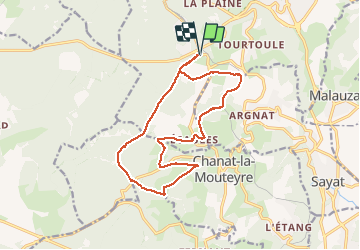
Trail Walking of 15.2 km to be discovered at Auvergne-Rhône-Alpes, Puy-de-Dôme, Volvic. This trail is proposed by Gegetop.
Description
Même départ mais le circuit est rallongé de 6,5 km.
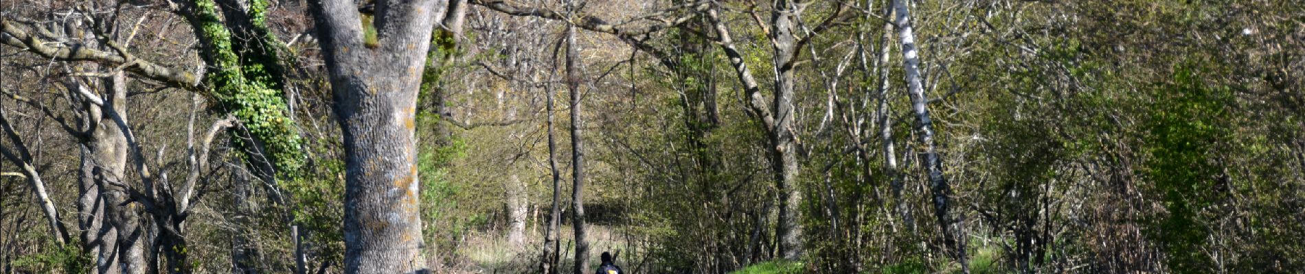
Photos
 - Photo 1")
Positioning
Country:
France
Region :
Auvergne-Rhône-Alpes
Department/Province :
Puy-de-Dôme
Municipality :
Volvic
Location:
Unknown
Start:(Dec)
Start:(UTM)
500544 ; 5078234 (31T) N.
Comments