


Ribes

Gegetop
User
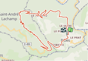

Length
14.4 km

Max alt
681 m

Uphill gradient
452 m
Km-Effort
20 km

Min alt
261 m

Downhill gradient
456 m
Boucle
Yes
Creation date :
2016-08-03 00:00:00.0
Updated on :
2016-08-03 00:00:00.0
4h23
Difficulty : Difficult

FREE GPS app for hiking
 SityTrail
IGN / Geographical institutes
SityTrail Plus
The world is yours!
About
Trail Walking of 14.4 km to be discovered at Auvergne-Rhône-Alpes, Ardèche, Ribes. This trail is proposed by Gegetop.
Description
attention passages parfois délicats
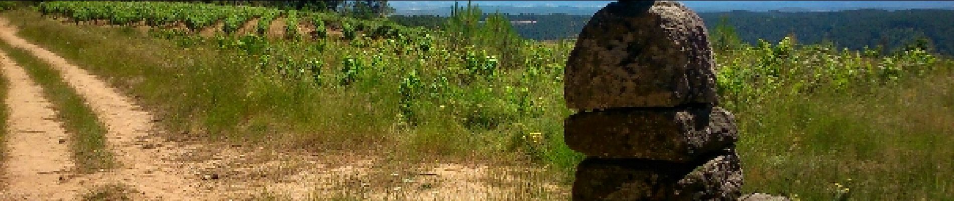
Photos


Positioning
Country:
France
Region :
Auvergne-Rhône-Alpes
Department/Province :
Ardèche
Municipality :
Ribes
Location:
Unknown
Start:(Dec)
Start:(UTM)
595828 ; 4927632 (31T) N.
Comments