


Le circuit jaune de COMBIERS

alainjoseph6
User
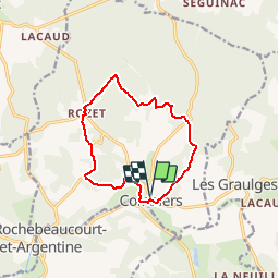

Length
11.2 km

Max alt
203 m

Uphill gradient
185 m
Km-Effort
13.7 km

Min alt
93 m

Downhill gradient
185 m
Boucle
Yes
Creation date :
2016-08-12 00:00:00.0
Updated on :
2019-08-11 17:37:47.232
2h38
Difficulty : Easy

FREE GPS app for hiking
 SityTrail
IGN / Geographical institutes
SityTrail Plus
The world is yours!
About
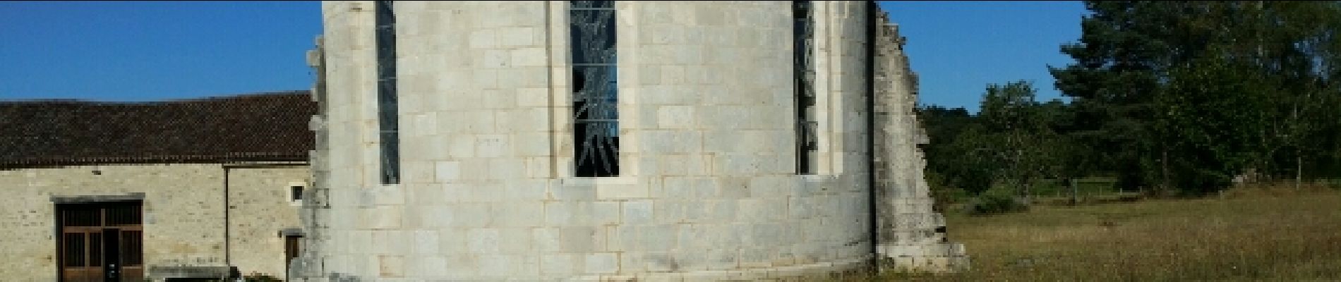
Trail Walking of 11.2 km to be discovered at New Aquitaine, Charente, Combiers. This trail is proposed by alainjoseph6.
Description
Très agréable à faire en famille
Photos


Positioning
Country:
France
Region :
New Aquitaine
Department/Province :
Charente
Municipality :
Combiers
Location:
Unknown
Start:(Dec)
Start:(UTM)
297981 ; 5040948 (31T) N.
Comments