


la coulée verte PARIS

cath310
User

Length
5.8 km

Max alt
62 m

Uphill gradient
75 m
Km-Effort
6.8 km

Min alt
34 m

Downhill gradient
58 m
Boucle
No
Creation date :
2016-09-04 00:00:00.0
Updated on :
2016-09-04 00:00:00.0
1h20
Difficulty : Very easy

FREE GPS app for hiking
 SityTrail
IGN / Geographical institutes
SityTrail Plus
The world is yours!
About
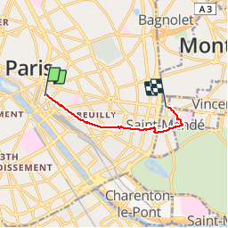
Trail Walking of 5.8 km to be discovered at Ile-de-France, Paris, Paris. This trail is proposed by cath310.
Description
la coulée verte René-Dumont (ex promenade plantée) PARIS 11eme-12eme
de : rue de LYON
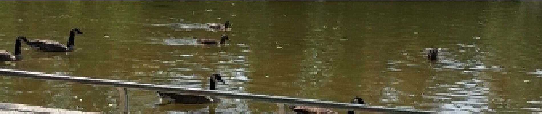
à : rue Edouard Lartet lac de st mandé RETOUR PAR METRO SAINT-MANDE
Photos


Positioning
Country:
France
Region :
Ile-de-France
Department/Province :
Paris
Municipality :
Paris
Location:
12th Arrondissement
Start:(Dec)
Start:(UTM)
453838 ; 5410904 (31U) N.
Comments