


BMF-160903.2 - Aubigny-Blancafort

randodan
User
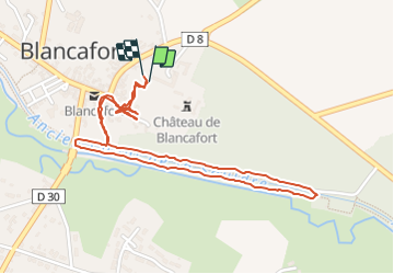

Length
2.6 km

Max alt
183 m

Uphill gradient
23 m
Km-Effort
2.9 km

Min alt
170 m

Downhill gradient
23 m
Boucle
Yes
Creation date :
2016-11-03 00:00:00.0
Updated on :
2016-11-03 00:00:00.0
50m
Difficulty : Very easy

FREE GPS app for hiking
 SityTrail
IGN / Geographical institutes
SityTrail Plus
The world is yours!
About
Trail Walking of 2.6 km to be discovered at Centre-Loire Valley, Cher, Blancafort. This trail is proposed by randodan.
Description
WE camping Aubigny<br>
- 03 septembre 2016, ap.m. -<br>
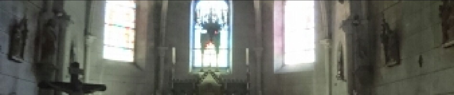
L'après-midi, visite du Château de Blancafort. Puis petite balade le long de l'ancien Canal de la Sauldre (même pas une heure).
Photos


Positioning
Country:
France
Region :
Centre-Loire Valley
Department/Province :
Cher
Municipality :
Blancafort
Location:
Unknown
Start:(Dec)
Start:(UTM)
464811 ; 5264436 (31T) N.
Comments