


col de la charmette - charmant som

maupassant38
User
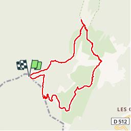

Length
8.7 km

Max alt
1857 m

Uphill gradient
635 m
Km-Effort
17.2 km

Min alt
1277 m

Downhill gradient
638 m
Boucle
Yes
Creation date :
2019-02-22 22:31:10.533
Updated on :
2019-02-22 22:31:10.563
2h59
Difficulty : Medium

FREE GPS app for hiking
 SityTrail
IGN / Geographical institutes
SityTrail Plus
The world is yours!
About
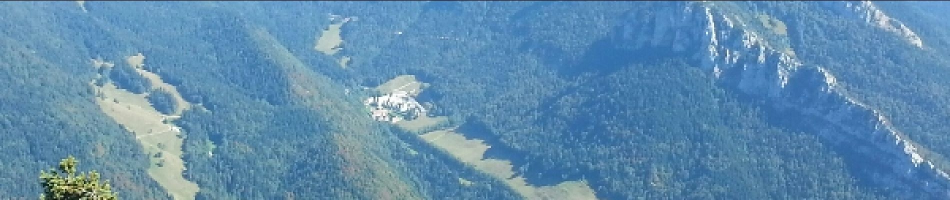
Trail Walking of 8.7 km to be discovered at Auvergne-Rhône-Alpes, Isère, Saint-Pierre-de-Chartreuse. This trail is proposed by maupassant38.
Photos


Positioning
Country:
France
Region :
Auvergne-Rhône-Alpes
Department/Province :
Isère
Municipality :
Saint-Pierre-de-Chartreuse
Location:
Unknown
Start:(Dec)
Start:(UTM)
714763 ; 5022362 (31T) N.
Comments