


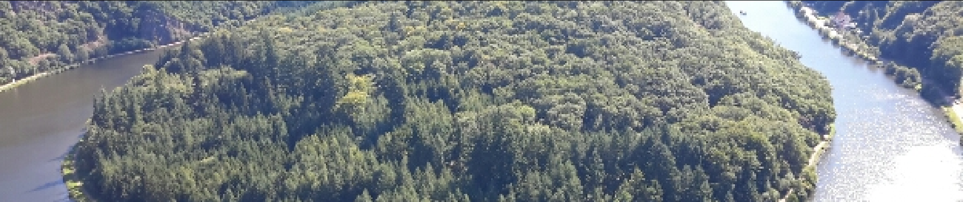
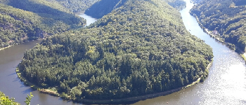
sarre mettlach - saarburg

mitch1915
User
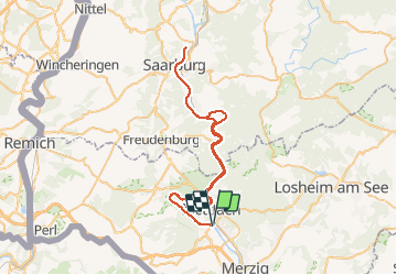

Length
60 km

Max alt
243 m

Uphill gradient
950 m
Km-Effort
73 km

Min alt
136 m

Downhill gradient
950 m
Boucle
Yes

Signpost
Creation date :
2016-09-08 00:00:00.0
Updated on :
2016-09-08 00:00:00.0
5h10
Difficulty : Easy

FREE GPS app for hiking
 SityTrail
IGN / Geographical institutes
SityTrail Plus
The world is yours!
About
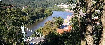
Trail Mountain bike of 60 km to be discovered at Saarland, Landkreis Merzig-Wadern, Merzig. This trail is proposed by mitch1915.
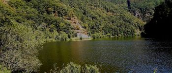
Photos


Positioning
Country:
Germany
Region :
Saarland
Department/Province :
Landkreis Merzig-Wadern
Municipality :
Merzig
Location:
Besseringen
Start:(Dec)
Start:(UTM)
325886 ; 5483267 (32U) N.
Comments