


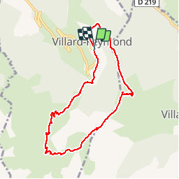

8.4 km | 10 km-effort

User


FREE GPS app for hiking
 SityTrail
IGN / Geographical institutes
SityTrail World
The world is yours!
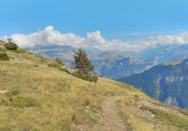
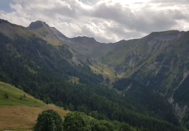
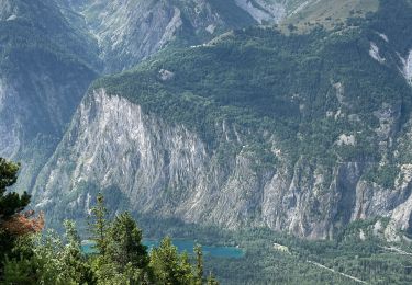
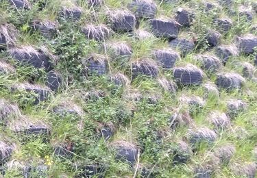
Trail Walking of 8.5 km to be discovered at Auvergne-Rhône-Alpes, Isère, Villard-Reymond. This trail is proposed by maupassant38.


Walking
Walking
Walking
Walking
Walking
Walking
Walking
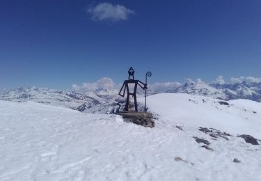
Touring skiing
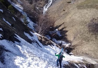
Touring skiing
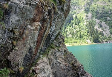
Jolie balade à pied, à faire jusqu'à mi novembre pour cause d'exposition.