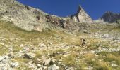
Trail Walking Saint-Christophe-en-Oisans - MONTÉE vers LE REFUGE DU SOREILLER-08-09-2016 - Photo

MONTÉE vers LE REFUGE DU SOREILLER-08-09-2016

 RD78-38
RD78-38

User

© OpenStreetMap contributors
Length
Length
5.6 km
Max alt
Max alt
2720 m
Uphill gradient
Uphill gradient
1120 m
Km-Effort
Km-Effort  
16.9 km
Min alt
Min alt
1602 m
Downhill gradient
Downhill gradient
18 m
Boucle
Boucle
No
Creation date :
2016-09-12 00:00:00.0
Updated on :
2020-07-11 00:22:25.219

(0 Reviews)

Walking
Walking
4h05
Difficulty : Medium

Scan this QR Code to open this trail in the SityTrail application

FREE GPS app for hiking

Logo SityTrail SityTrail
IGN / Geographical institutes

Download SityTrail from the App Store Download SityTrail from Google Play

Logo SityTrail SityTrail Plus
The world is yours!

Download SityTrail from the App Store Download SityTrail from Google Play Download SityTrail on Huawei AppGallery

About

Trail Walking of 5.6 km to be discovered at Auvergne-Rhône-Alpes, Isère, Saint-Christophe-en-Oisans. This trail is proposed by RD78-38.

Description

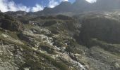
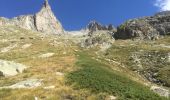
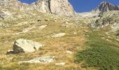
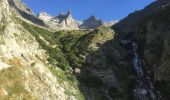
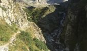
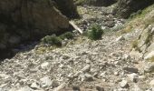
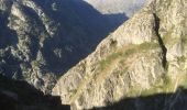
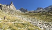
Pente du début soutenu (1h00 environ), suivie d'une pente plus raide (1h00 environ), derniére partie : pente moyenne. Ce circuit ne présente aucune difficulté technique ni de passages délicats. En revanche : paysages magnifique tout au long du trajet ( cascades, glaciers, pic de DIVONA au pied duquel se trouve le REFUGE du SORIER). Circuit à faire absolument! Possibilité de passer la nuit au refuge pour récupérer des 1100m de dénivelé et des 3h30 de montée ( la durée indiqué sur le SITY GUIDE inclue les 30 mn d'arrêt photos et admiration du paysage lors d'une halte boisson).

Elevation profile

Photos

39 photos in total. Please click on a photo to see them all in the gallery.

Positioning

Country:
France
Region :
Auvergne-Rhône-Alpes
Department/Province :
Isère
Municipality :
Saint-Christophe-en-Oisans
Location:
Unknown
Start:(UTM)
283412 ; 4979661 (32T) N.


Close
My subscriptions