


Ronquières 15,2 km

ThierryGABRIEL
User
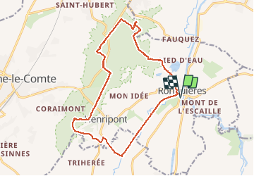

Length
17.9 km

Max alt
174 m

Uphill gradient
261 m
Km-Effort
21 km

Min alt
56 m

Downhill gradient
262 m
Boucle
Yes
Creation date :
2016-11-03 00:00:00.0
Updated on :
2016-11-03 00:00:00.0
6h54
Difficulty : Medium

FREE GPS app for hiking
 SityTrail
IGN / Geographical institutes
SityTrail Plus
The world is yours!
About
Trail Walking of 17.9 km to be discovered at Wallonia, Hainaut, Braine-le-Comte. This trail is proposed by ThierryGABRIEL.
Description
Nathalie Demain Tour du Brabant Wallon Édition Racine No 15
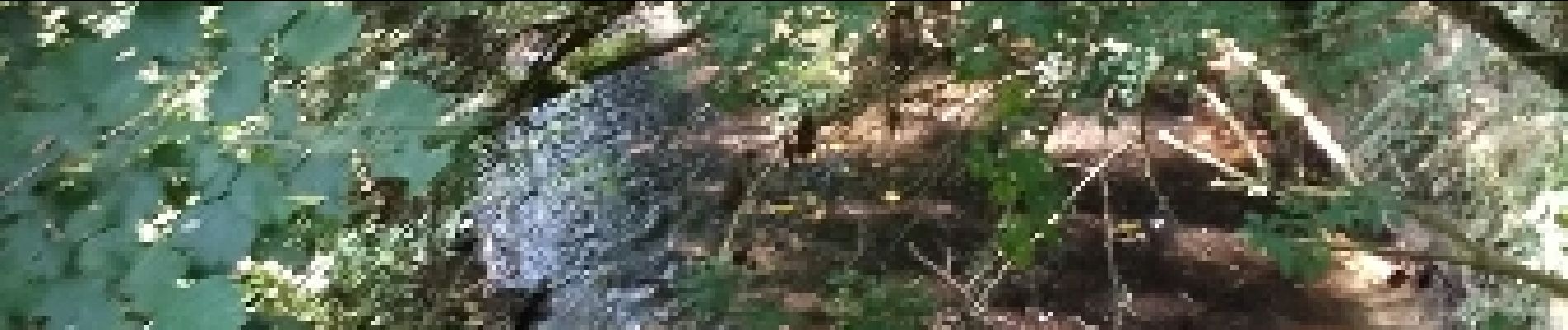
Photos


23 photos in total. Please click on a photo to see them all in the gallery.


Positioning
Country:
Belgium
Region :
Wallonia
Department/Province :
Hainaut
Municipality :
Braine-le-Comte
Location:
Ronquières
Start:(Dec)
Start:(UTM)
586527 ; 5606766 (31U) N.
Comments