


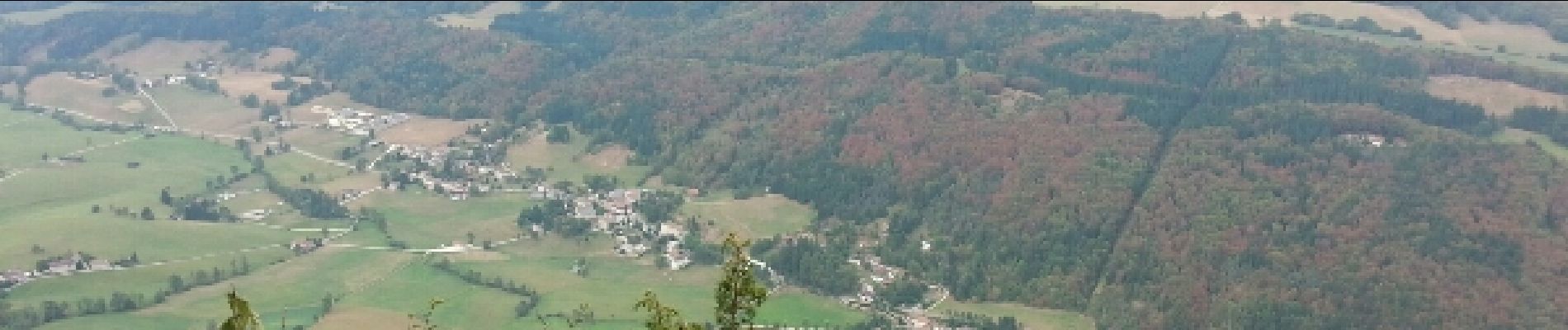
Herbouilly - Roche Rousse - Château Julien

maupassant38
User
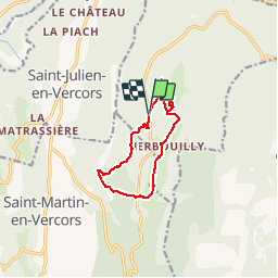

Length
10.7 km

Max alt
1554 m

Uphill gradient
379 m
Km-Effort
15.7 km

Min alt
1270 m

Downhill gradient
379 m
Boucle
Yes
Creation date :
2019-02-22 22:31:09.19
Updated on :
2019-02-22 22:31:09.228
3h36
Difficulty : Medium

FREE GPS app for hiking
 SityTrail
IGN / Geographical institutes
SityTrail Plus
The world is yours!
About
Trail Walking of 10.7 km to be discovered at Auvergne-Rhône-Alpes, Isère, Villard-de-Lans. This trail is proposed by maupassant38.
Photos


Positioning
Country:
France
Region :
Auvergne-Rhône-Alpes
Department/Province :
Isère
Municipality :
Villard-de-Lans
Location:
Unknown
Start:(Dec)
Start:(UTM)
694978 ; 4990743 (31T) N.
Comments