


11.5 km | 15.8 km-effort


User


FREE GPS app for hiking
 SityTrail
IGN / Geographical institutes
SityTrail World
The world is yours!
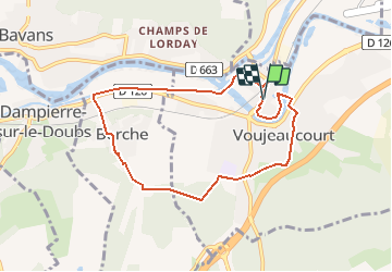
Trail Walking of 7.6 km to be discovered at Bourgogne-Franche-Comté, Doubs, Voujeaucourt. This trail is proposed by Guytoumo.
En sortant de la salle des fêtes, traverser la rue et tourner à droite. Après le passage à niveau, descendre l’escalier sur la gauche, traverser le quartier du Maroc et suivre le canal vers la gauche. Après la pause de Berche, tourner à gauche au bout du chemin qui passe derrière les maisons. Retour par le bois des Chevalières, la rue de la Coudraie pour un apéritif puis la salle des fêtes pour le repas.
Walking
Other activity


sport

Mountain bike
Walking
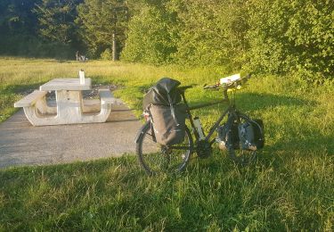
Bicycle tourism
Walking
Walking
Mountain bike