


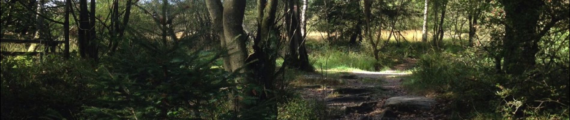
Luik - 2016-09-26 - Rond Longfaye

misph
User
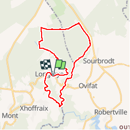

Length
15.2 km

Max alt
660 m

Uphill gradient
307 m
Km-Effort
19.2 km

Min alt
445 m

Downhill gradient
306 m
Boucle
Yes
Creation date :
2017-05-05 00:00:00.0
Updated on :
2017-05-05 00:00:00.0
3h29
Difficulty : Easy

FREE GPS app for hiking
 SityTrail
IGN / Geographical institutes
SityTrail Plus
The world is yours!
About
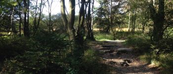
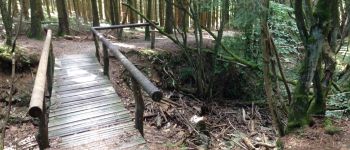
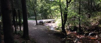
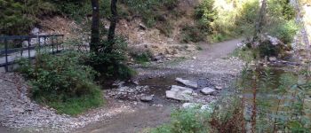
Trail Walking of 15.2 km to be discovered at Wallonia, Liège, Malmedy. This trail is proposed by misph.
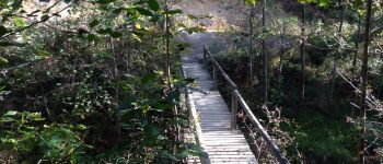
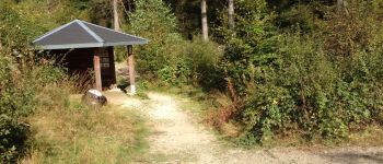
Photos


Positioning
Country:
Belgium
Region :
Wallonia
Department/Province :
Liège
Municipality :
Malmedy
Location:
Bevercé
Start:(Dec)
Start:(UTM)
293040 ; 5595018 (32U) N.
Comments
Jolie mais très dificile