


Angel's landing

phi14
User
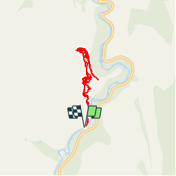

Length
9.6 km

Max alt
1772 m

Uphill gradient
1001 m
Km-Effort
23 km

Min alt
1309 m

Downhill gradient
1002 m
Boucle
Yes
Creation date :
2017-02-24 00:00:00.0
Updated on :
2017-02-24 00:00:00.0
4h58
Difficulty : Difficult

FREE GPS app for hiking
 SityTrail
IGN / Geographical institutes
SityTrail Plus
The world is yours!
About
Trail Walking of 9.6 km to be discovered at Utah, Washington County. This trail is proposed by phi14.
Description
C'est LA rando à faire à Zion. Splendide !!! Attention, sujet au vertige s'abstenir, la fin se fait sur une crête avec 400 m de vide de chaque côté.
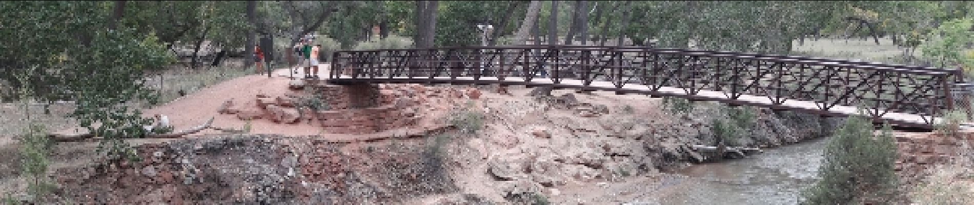
Photos


Positioning
Country:
United States
Region :
Utah
Department/Province :
Washington County
Municipality :
Unknown
Location:
Unknown
Start:(Dec)
Start:(UTM)
326948 ; 4125492 (12S) N.
Comments