Trail Walking Raismes - Raismes, autours des terrils - Photo

Raismes, autours des terrils

 papiou
papiou

User

© OpenStreetMap contributors
Length
Length
8.9 km
Max alt
Max alt
46 m
Uphill gradient
Uphill gradient
75 m
Km-Effort
Km-Effort  
9.9 km
Min alt
Min alt
17 m
Downhill gradient
Downhill gradient
75 m
Boucle
Boucle
Yes
Creation date :
2016-10-02 00:00:00.0
Updated on :
2016-10-02 00:00:00.0

(0 Reviews)

Walking
Walking
1h55
Difficulty : Easy

Scan this QR Code to open this trail in the SityTrail application

FREE GPS app for hiking

Logo SityTrail SityTrail

IGN / Geographical institutes

Download SityTrail from the App Store Download SityTrail from Google Play

Logo SityTrail SityTrail Plus

The world is yours!

Download SityTrail from the App Store Download SityTrail from Google Play Download SityTrail on Huawei AppGallery

About

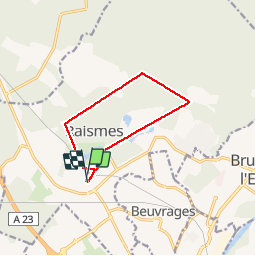
Trail Walking of 8.9 km to be discovered at Hauts-de-France, Nord, Raismes. This trail is proposed by papiou.

Description

Rdv parking cimetière. rejoindre maison de la forêt par club hippique et base de loisir. prendre drève de la mine jusqu'au terril Rousseau puis à gauche vers étoile de Cernay pour rejoindre cimetière Vicoigne et la rejoindre château princesses pour retour vers le départ.
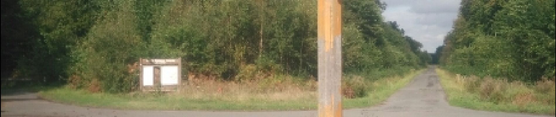
Elevation profile

Photos

Positioning

Country:
France
Region :
Hauts-de-France
Department/Province :
Nord
Municipality :
Raismes
Location:
Unknown
Start:(UTM)
534188 ; 5582658 (31U) N.


Close
My subscriptions