


lordat

c.chehere
User
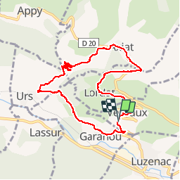

Length
10 km

Max alt
895 m

Uphill gradient
419 m
Km-Effort
15.5 km

Min alt
604 m

Downhill gradient
410 m
Boucle
Yes

Signpost
Creation date :
2017-04-19 00:00:00.0
Updated on :
2019-09-23 14:06:29.369
4h12
Difficulty : Unknown

FREE GPS app for hiking
 SityTrail
IGN / Geographical institutes
SityTrail Plus
The world is yours!
About
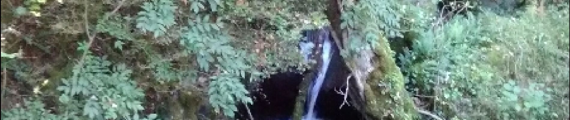
Trail Walking of 10 km to be discovered at Occitania, Ariège, Vernaux. This trail is proposed by c.chehere.
Photos

Positioning
Country:
France
Region :
Occitania
Department/Province :
Ariège
Municipality :
Vernaux
Location:
Unknown
Start:(Dec)
Start:(UTM)
398175 ; 4736083 (31T) N.
Comments