


Ardèche-160930 - Païolive-Casteljau

randodan
User
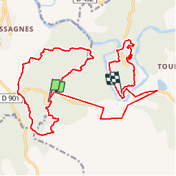

Length
14.2 km

Max alt
251 m

Uphill gradient
288 m
Km-Effort
18.2 km

Min alt
113 m

Downhill gradient
360 m
Boucle
No
Creation date :
2017-01-01 00:00:00.0
Updated on :
2017-01-01 00:00:00.0
5h00
Difficulty : Easy

FREE GPS app for hiking
 SityTrail
IGN / Geographical institutes
SityTrail Plus
The world is yours!
About
Trail Walking of 14.2 km to be discovered at Auvergne-Rhône-Alpes, Ardèche, Les Vans. This trail is proposed by randodan.
Description
En Cours
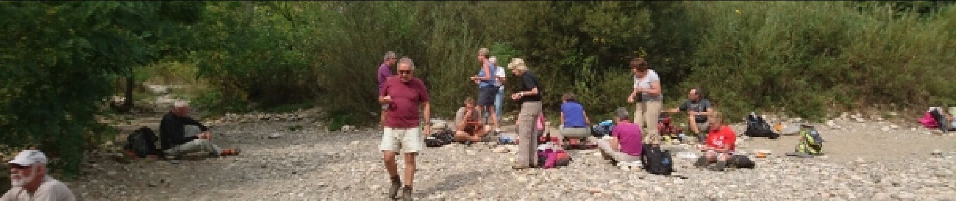
Photos


Positioning
Country:
France
Region :
Auvergne-Rhône-Alpes
Department/Province :
Ardèche
Municipality :
Les Vans
Location:
Chassagnes
Start:(Dec)
Start:(UTM)
593802 ; 4916367 (31T) N.
Comments