


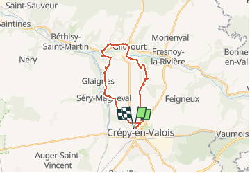
crépis en Valois

bellicaud
User

Length
21 km

Max alt
124 m

Uphill gradient
350 m
Km-Effort
26 km

Min alt
51 m

Downhill gradient
349 m
Boucle
Yes
Creation date :
2016-10-23 00:00:00.0
Updated on :
2016-10-23 00:00:00.0
5h35
Difficulty : Unknown

FREE GPS app for hiking
 SityTrail
IGN / Geographical institutes
SityTrail Plus
The world is yours!
About
Trail Other activity of 21 km to be discovered at Hauts-de-France, Oise, Crépy-en-Valois. This trail is proposed by bellicaud.
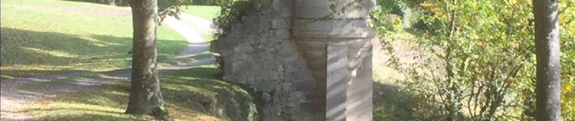
Photos


Positioning
Country:
France
Region :
Hauts-de-France
Department/Province :
Oise
Municipality :
Crépy-en-Valois
Location:
Unknown
Start:(Dec)
Start:(UTM)
491553 ; 5453934 (31U) N.
Comments