


Pailhe - la Vyle- St Fontaine

henriantoine
User
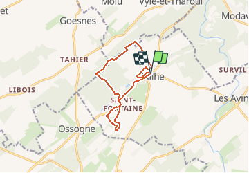

Length
11 km

Max alt
271 m

Uphill gradient
188 m
Km-Effort
13.5 km

Min alt
204 m

Downhill gradient
189 m
Boucle
Yes
Creation date :
2018-09-11 10:16:03.89
Updated on :
2018-09-11 10:16:03.89
2h54
Difficulty : Easy

FREE GPS app for hiking
 SityTrail
IGN / Geographical institutes
SityTrail Plus
The world is yours!
About
Trail Walking of 11 km to be discovered at Wallonia, Liège, Clavier. This trail is proposed by henriantoine.
Description
Au depart de l'église de Pailhe... la Vyle- St Fontaine
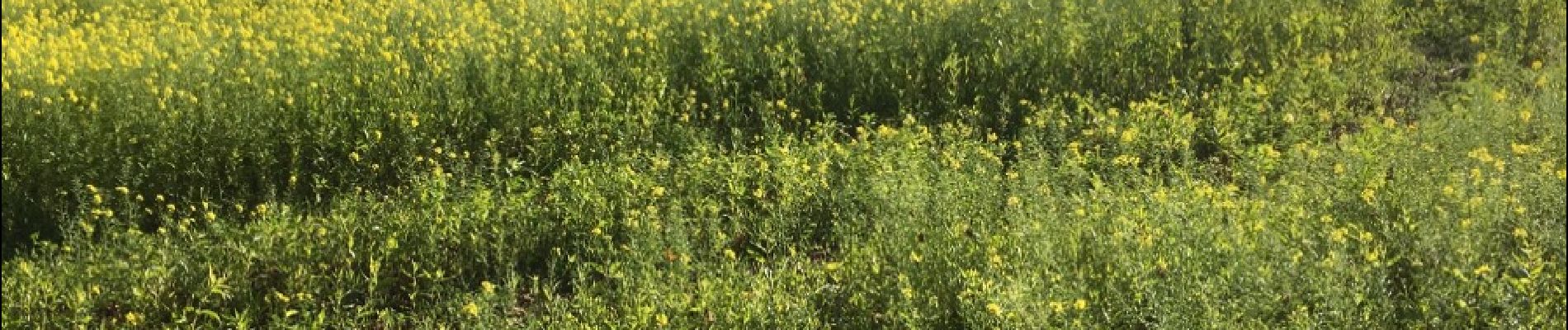
Photos


Positioning
Country:
Belgium
Region :
Wallonia
Department/Province :
Liège
Municipality :
Clavier
Location:
Pailhe
Start:(Dec)
Start:(UTM)
660424 ; 5588143 (31U) N.
Comments