


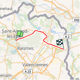

13 km | 14.9 km-effort


User


FREE GPS app for hiking
 SityTrail
IGN / Geographical institutes
SityTrail World
The world is yours!
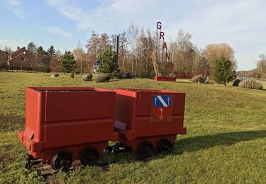
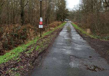
Trail Other activity of 20 km to be discovered at Hauts-de-France, Nord, Saint-Amand-les-Eaux. This trail is proposed by mich54.
La ligne de Saint-Amand-les-Eaux à Blanc-Misseron est une ancienne ligne ferroviaire française à écartement standard. Elle reliait la Gare de Saint-Amand-les-Eaux à celle de Blanc-Misseron. Elle a ouvert le 20 juillet 1875 et mesurait 20 kilomètres de longueur.(Source Wikipédia)

Walking
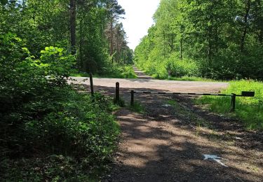
Walking
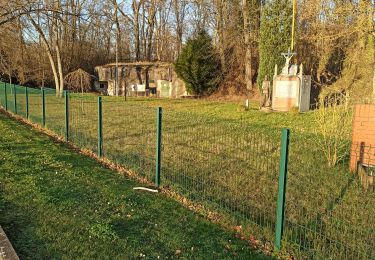
Walking

Walking
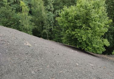
Walking

Walking
Walking
Walking
Walking