


RAMPILLON

bellicaud
User

Length
18.7 km

Max alt
147 m

Uphill gradient
113 m
Km-Effort
20 km

Min alt
121 m

Downhill gradient
113 m
Boucle
Yes
Creation date :
2016-11-07 00:00:00.0
Updated on :
2016-11-07 00:00:00.0
4h37
Difficulty : Easy

FREE GPS app for hiking
 SityTrail
IGN / Geographical institutes
SityTrail Plus
The world is yours!
About
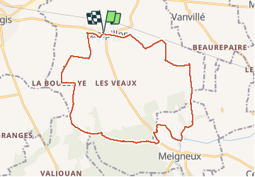
Trail Other activity of 18.7 km to be discovered at Ile-de-France, Seine-et-Marne, Rampillon. This trail is proposed by bellicaud.
Photos


Positioning
Country:
France
Region :
Ile-de-France
Department/Province :
Seine-et-Marne
Municipality :
Rampillon
Location:
Unknown
Start:(Dec)
Start:(UTM)
504849 ; 5377480 (31U) N.
Comments