


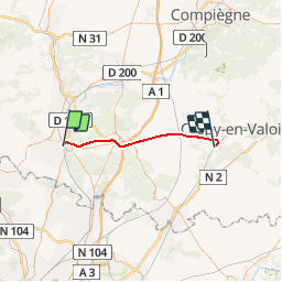
Picardie - Ligne 231 - Chantilly - Gouvieux - Crépy-en-Valois par Senlis

mich54
User


5m
Difficulty : Unknown

FREE GPS app for hiking
 SityTrail
IGN / Geographical institutes
SityTrail Plus
The world is yours!
About
Trail Other activity of 31 km to be discovered at Hauts-de-France, Oise, Chantilly. This trail is proposed by mich54.
Description
La ligne de Chantilly - Gouvieux à Crépy-en-Valois est une ligne ferroviaire française, d'une longueur de 35,1 kilomètres, qui reliait Chantilly à Crépy-en-Valois dans le département de l'Oise, en Picardie.
Comme de nombreuses lignes secondaires, elle est fermée au trafic de voyageurs en 1950, puis déferrée de Chantilly à Senlis. Le tronçon entre Senlis et Ormoy-Villers voit subsister un faible trafic de marchandises, jusqu'aux travaux de construction de la LGV Nord au début des années 1990, qui interrompent définitivement la ligne en janvier 1990.
Elle constitue la ligne 231 0001 du réseau ferré national.(Source Wikipédia)
Positioning
Comments