


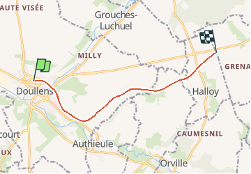
Picardie - Ligne 306 - Doullens - Arras (Section Doullens Halloy)

mich54
User


5m
Difficulty : Unknown

FREE GPS app for hiking
 SityTrail
IGN / Geographical institutes
SityTrail Plus
The world is yours!
About
Trail Other activity of 7.9 km to be discovered at Hauts-de-France, Somme, Doullens. This trail is proposed by mich54.
Description
La ligne de Doullens à Arras est une ancienne ligne ferroviaire française de la région Nord-Pas-de-Calais, à écartement standard et à voie unique, qui reliait la gare de Doullens à celle d'Arras. Elle est déclassée sur la majeure partie de son parcours.
Elle constitue la ligne no 306 0001 du réseau ferré national.(Source Wikipédia)
Positioning
Comments