


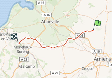
Picardie - Ligne 322 - Canaples - Longroy - Gamaches par Longpré

mich54
User


5m
Difficulty : Unknown

FREE GPS app for hiking
 SityTrail
IGN / Geographical institutes
SityTrail Plus
The world is yours!
About
Trail Other activity of 57 km to be discovered at Hauts-de-France, Somme, Canaples. This trail is proposed by mich54.
Description
La ligne de Canaples à Longroy - Gamaches était une ligne ferroviaire française transversale, qui reliait la gare de Canaples, sur la ligne de Saint-Roch à Frévent, à la gare de Longroy - Gamaches, sur la ligne d'Épinay - Villetaneuse au Tréport - Mers.
Elle constituait la ligne 322 000 du réseau ferré national.
7 novembre 1938, fermeture du trafic voyageurs (temporairement rouvert de 1941 à 1944).(Source Wikipédia)
Positioning
Comments