


25 km | 30 km-effort


User


FREE GPS app for hiking
 SityTrail
IGN / Geographical institutes
SityTrail World
The world is yours!
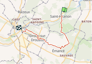
Trail Walking of 10.1 km to be discovered at Ile-de-France, Yvelines, Saint-Hilarion. This trail is proposed by tequila_0fr.
5° étape Paris Saint Jacques de Compostelle par Chartres
St Hilarion - Epernon

Walking
Walking
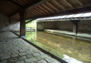
Walking

Walking

Walking
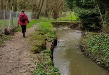
Walking

Walking

Walking

On foot