


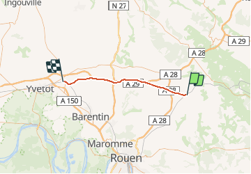
Haute - Normandie - Ligne 354 - Montérolier-Buchy - Motteville

mich54
User


5m
Difficulty : Unknown

FREE GPS app for hiking
 SityTrail
IGN / Geographical institutes
SityTrail Plus
The world is yours!
About
Trail Other activity of 37 km to be discovered at Normandy, Seine-Maritime, Montérolier. This trail is proposed by mich54.
Description
La ligne de Montérolier - Buchy à Motteville est une ligne de chemin de fer française qui relie la gare de Montérolier - Buchy sur la ligne de Saint-Roch à Darnétal-Bifurcation (relation Amiens - Rouen) à celle de Motteville sur la ligne de Paris-Saint-Lazare au Havre.
Elle constitue la ligne 354 0001 du réseau ferré national.
D'orientation générale Est-Ouest, elle constitue un élément du contournement ferroviaire de l'agglomération parisienne. Elle est parcourue quotidiennement par des trains de fret uniquement. Exceptionnellement, elle peut aussi servir d'itinéraire de détournement du trafic voyageurs depuis et vers Le Havre.(Source Wikipédia)
Positioning
Comments