


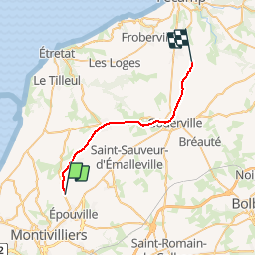

7.8 km | 9.3 km-effort


User


FREE GPS app for hiking
 SityTrail
IGN / Geographical institutes
SityTrail World
The world is yours!
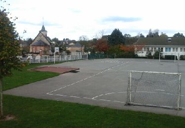
Trail Other activity of 22 km to be discovered at Normandy, Seine-Maritime, Rolleville. This trail is proposed by mich54.
La ligne du Havre-Graville à Tourville-les-Ifs est une ligne secondaire du réseau ferré français qui relie la gare du Havre-Graville à celle des Ifs, dans le département de la Seine-Maritime. Partiellement inexploitée, elle dessert principalement les communes péri-urbaines du Havre jusqu'à Rolleville.
Elle constitue la ligne 361 0001 du réseau ferré national.
La section entre les gares de Rolleville et Les Ifs est définitivement fermée au trafic voyageurs le 6 avril 1970.(Source Wikipédia)

Walking
Walking
Walking
Walking
On foot
Walking
Walking
Walking
Walking