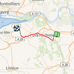

14 km | 16.4 km-effort


User


FREE GPS app for hiking
 SityTrail
IGN / Geographical institutes
SityTrail World
The world is yours!
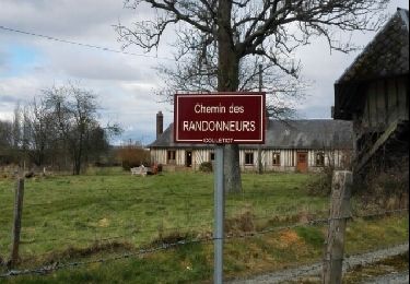
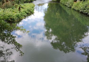
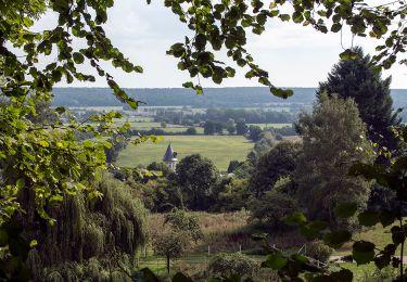
Trail Other activity of 26 km to be discovered at Normandy, Eure, Condé-sur-Risle. This trail is proposed by mich54.
La ligne d'Évreux-Embranchement à Quetteville est une ligne de chemin de fer française qui reliait Évreux (Eure) à Quetteville (Calvados).
Elle constitue la ligne 375 000 du réseau ferré national.
Seule une section de la ligne reste ouverte pour le fret entre la gare de Glos-Montfort et celle de Quetteville.
La ligne est fermée au trafic voyageurs en 1969. Le trafic fret est interrompu entre Évreux et le Neubourg en 1990.(Source Wikipédia)
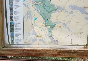
Section de Condé-sur-Risle à Quetteville.

Walking
Walking
Walking
Walking
Walking

Walking

Walking
Walking