


chateau salency

NESTOR2714
User
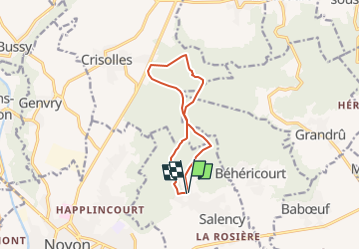

Length
9.5 km

Max alt
188 m

Uphill gradient
237 m
Km-Effort
12.7 km

Min alt
77 m

Downhill gradient
239 m
Boucle
Yes
Creation date :
2017-01-09 00:00:00.0
Updated on :
2017-01-09 00:00:00.0
2h30
Difficulty : Unknown

FREE GPS app for hiking
 SityTrail
IGN / Geographical institutes
SityTrail Plus
The world is yours!
About
Trail Other activity of 9.5 km to be discovered at Hauts-de-France, Oise, Salency. This trail is proposed by NESTOR2714.
Description
chemin bois
Positioning
Country:
France
Region :
Hauts-de-France
Department/Province :
Oise
Municipality :
Salency
Location:
Unknown
Start:(Dec)
Start:(UTM)
503023 ; 5493291 (31U) N.
Comments