


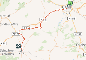
Basse Normandie - Ligne 413 - Caen - Vire

mich54
User


5m
Difficulty : Unknown

FREE GPS app for hiking
 SityTrail
IGN / Geographical institutes
SityTrail Plus
The world is yours!
About
Trail Other activity of 73 km to be discovered at Normandy, Calvados, Caen. This trail is proposed by mich54.
Description
La ligne de Caen à Vire est une ligne du réseau ferré français ouverte entre 1886 et 1891 pour relier Caen à Vire en passant par le Bocage virois. La ligne a été fermée en 1938 au trafic voyageurs. Après la Seconde Guerre mondiale, la ligne a également été fermée en plusieurs étapes au transport de marchandises. Par la suite, elle a été déclassée, puis déposée.(Source Wikipédia)
Positioning
Comments