


Environ de Yerres

bellicaud
User
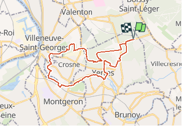

Length
16.8 km

Max alt
122 m

Uphill gradient
184 m
Km-Effort
19.2 km

Min alt
31 m

Downhill gradient
184 m
Boucle
Yes
Creation date :
2017-01-26 00:00:00.0
Updated on :
2017-01-26 00:00:00.0
4h39
Difficulty : Easy

FREE GPS app for hiking
 SityTrail
IGN / Geographical institutes
SityTrail Plus
The world is yours!
About
Trail Walking of 16.8 km to be discovered at Ile-de-France, Essonne, Yerres. This trail is proposed by bellicaud.
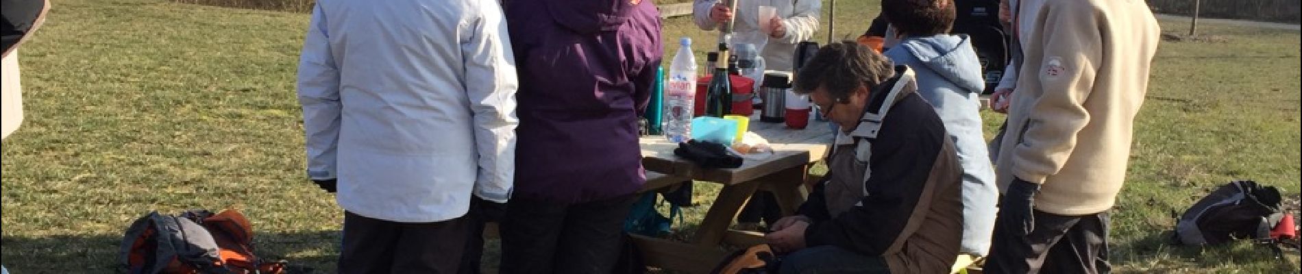
Photos


Positioning
Country:
France
Region :
Ile-de-France
Department/Province :
Essonne
Municipality :
Yerres
Location:
Unknown
Start:(Dec)
Start:(UTM)
463869 ; 5397802 (31U) N.
Comments