


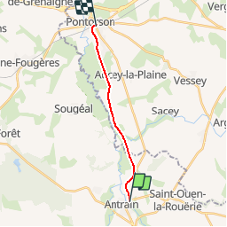
Basse Normandie - Ligne 439 - Vitré - Pontorson

mich54
User


5m
Difficulty : Unknown

FREE GPS app for hiking
 SityTrail
IGN / Geographical institutes
SityTrail Plus
The world is yours!
About
Trail Other activity of 10.9 km to be discovered at Brittany, Ille-et-Vilaine, Val-Couesnon. This trail is proposed by mich54.
Description
La ligne de Vitré à Pontorson est une ligne ferroviaire française, qui reliait les gares de Vitré et de Pontorson.
2 octobre 1938 : Fermeture du tronçon Fougères - Pontorson au service voyageurs.(Source wikipédia)
Section de Antrain à Pontorson
Positioning
Comments