


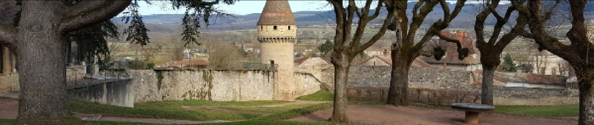
Autour de Cluny

Marfee
User
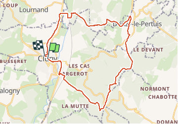

Length
20 km

Max alt
553 m

Uphill gradient
496 m
Km-Effort
27 km

Min alt
224 m

Downhill gradient
492 m
Boucle
Yes
Creation date :
2017-02-20 00:00:00.0
Updated on :
2017-02-20 00:00:00.0
5h26
Difficulty : Medium

FREE GPS app for hiking
 SityTrail
IGN / Geographical institutes
SityTrail Plus
The world is yours!
About
Trail Walking of 20 km to be discovered at Bourgogne-Franche-Comté, Saône-et-Loire, Cluny. This trail is proposed by Marfee.
Description
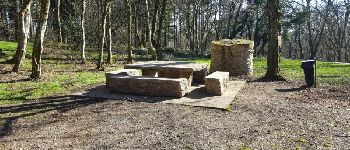
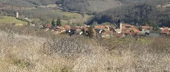
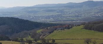
Beau parcours - peu de bitume - majoritairement en forêt - plus ouvert à partir des Quatre vents avec un beau panorama à 360° depuis la Grande Roche -
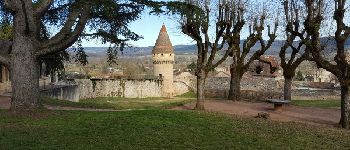
Photos


Positioning
Country:
France
Region :
Bourgogne-Franche-Comté
Department/Province :
Saône-et-Loire
Municipality :
Cluny
Location:
Unknown
Start:(Dec)
Start:(UTM)
627380 ; 5143570 (31T) N.
Comments