


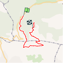

13.3 km | 18.3 km-effort


User


FREE GPS app for hiking
 SityTrail
IGN / Geographical institutes
SityTrail World
The world is yours!
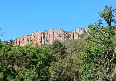
Trail Walking of 6.9 km to be discovered at Provence-Alpes-Côte d'Azur, Var, Bagnols-en-Forêt. This trail is proposed by Sugg.
Rien vu de l’église ??
Ne pas faire PB sitytrail !


Walking

Mountain bike

Walking

On foot
On foot
Walking
Walking

Walking
Walking