Trail Walking Moirans-en-Montagne - d)Etapa 4  - Photo
© OpenStreetMap contributors
Length
Length
26 km
Max alt
Max alt
626 m
Uphill gradient
Uphill gradient
484 m
Km-Effort
Km-Effort  
33 km
Min alt
Min alt
433 m
Downhill gradient
Downhill gradient
668 m
Boucle
Boucle
No
Creation date :
2017-05-05 00:00:00.0
Updated on :
2017-05-05 00:00:00.0

(0 Reviews)

Walking
Walking
9h03
Difficulty : Difficult

Scan this QR Code to open this trail in the SityTrail application

FREE GPS app for hiking

Logo SityTrail SityTrail

IGN / Geographical institutes

Download SityTrail from the App Store Download SityTrail from Google Play

Logo SityTrail SityTrail World

The world is yours!

Download SityTrail from the App Store Download SityTrail from Google Play Download SityTrail on Huawei AppGallery

About

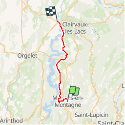
Trail Walking of 26 km to be discovered at Bourgogne-Franche-Comté, Jura, Moirans-en-Montagne. This trail is proposed by RafaTuareg.

Description

De Moinans en Montagne a Patornay

Elevation profile

Photos

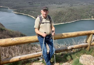
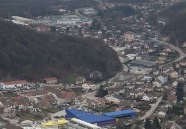
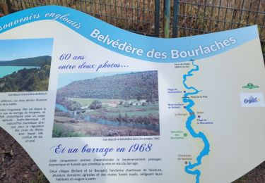
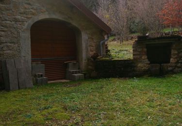
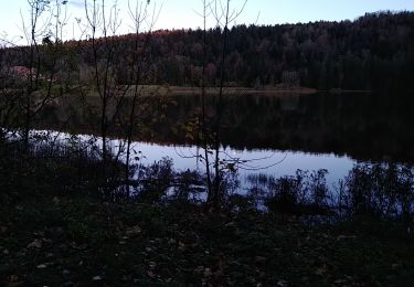
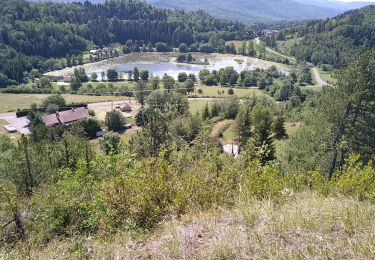
28 photos in total. Please click on a photo to see them all in the gallery.

Positioning

Country:
France
Region :
Bourgogne-Franche-Comté
Department/Province :
Jura
Municipality :
Moirans-en-Montagne
Location:
Unknown
Start:(UTM)
709408 ; 5145555 (31T) N.

Trails nearby

Trail Walking Martigna - rando a martgna dans le jura - Photo
Walking
colomb24

Walking

Easy
Martigna, Bourgogne-Franche-Comté, Jura, France
13.8 km | 18.3 km-effort
5h 7min
Yes
Trail Walking Villards-d'Héria - Villard La vierge Tête d'Henri IV - Photo
Walking
Jackoyo

Walking

Very difficult
Villards-d'Héria, Bourgogne-Franche-Comté, Jura, France
9.5 km | 14.6 km-effort
2h 41min
Yes
Trail Walking Onoz - onoz chartreuse de vaucluse - Photo
Walking
loca.yves

Walking

Difficult
Onoz, Bourgogne-Franche-Comté, Jura, France
11.1 km | 15.5 km-effort
3h 39min
Yes
Trail Horseback riding Moirans-en-Montagne - Jura_moirans_J1 - Photo
Horseback riding
xavier.fetzer

Horseback riding

Medium
(1)
Moirans-en-Montagne, Bourgogne-Franche-Comté, Jura, France
22 km | 27 km-effort
3h 22min
Yes
Trail Walking Villards-d'Héria - lac d'Antre Belvédère de Scia  - Photo
Walking
Jackoyo

Walking

Easy
Villards-d'Héria, Bourgogne-Franche-Comté, Jura, France
12.5 km | 17.3 km-effort
2h 34min
Yes
Trail Walking Villards-d'Héria - lac d antre - Photo
Walking
colomb24

Walking

Very easy
Villards-d'Héria, Bourgogne-Franche-Comté, Jura, France
7.6 km | 10.4 km-effort
2h 55min
Yes
Trail Walking Lect - voiglans - Photo
Walking
colomb24

Walking

Very easy
Lect, Bourgogne-Franche-Comté, Jura, France
18.6 km | 26 km-effort
5h 24min
Yes
Trail Walking Lect - Vouglans par Lect - Photo
Walking
Bogapuki

Walking

Easy
Lect, Bourgogne-Franche-Comté, Jura, France
7.6 km | 10.5 km-effort
2h 34min
Yes
Trail Walking Villards-d'Héria - Villards d'Héria - Lac d'Antre - Photo
Walking
albert39

Walking

Easy
(1)
Villards-d'Héria, Bourgogne-Franche-Comté, Jura, France
13.1 km | 18.5 km-effort
4h 2min
Yes


Close
My subscriptions