


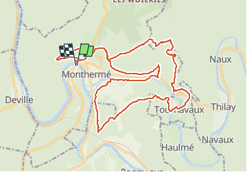
petit tour autour de Monthermé

choumac08
User

Length
24 km

Max alt
423 m

Uphill gradient
1053 m
Km-Effort
38 km

Min alt
132 m

Downhill gradient
1053 m
Boucle
Yes
Creation date :
2017-03-11 00:00:00.0
Updated on :
2017-03-11 00:00:00.0
4h06
Difficulty : Difficult

FREE GPS app for hiking
 SityTrail
IGN / Geographical institutes
SityTrail Plus
The world is yours!
About
Trail Running of 24 km to be discovered at Grand Est, Ardennes, Monthermé. This trail is proposed by choumac08.
Positioning
Country:
France
Region :
Grand Est
Department/Province :
Ardennes
Municipality :
Monthermé
Location:
Unknown
Start:(Dec)
Start:(UTM)
624613 ; 5527499 (31U) N.
Comments