


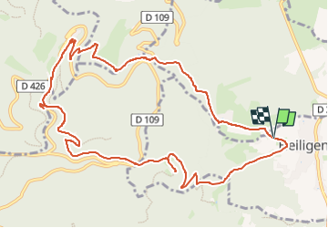
12,03,17-Heiligenstein-Ste Odile

delm
User

Length
12.2 km

Max alt
813 m

Uphill gradient
579 m
Km-Effort
19.9 km

Min alt
300 m

Downhill gradient
578 m
Boucle
Yes
Creation date :
2017-03-12 00:00:00.0
Updated on :
2017-03-12 00:00:00.0
3h30
Difficulty : Unknown

FREE GPS app for hiking
 SityTrail
IGN / Geographical institutes
SityTrail Plus
The world is yours!
About
Trail Walking of 12.2 km to be discovered at Grand Est, Bas-Rhin, Heiligenstein. This trail is proposed by delm.
Positioning
Country:
France
Region :
Grand Est
Department/Province :
Bas-Rhin
Municipality :
Heiligenstein
Location:
Unknown
Start:(Dec)
Start:(UTM)
384759 ; 5364681 (32U) N.
Comments