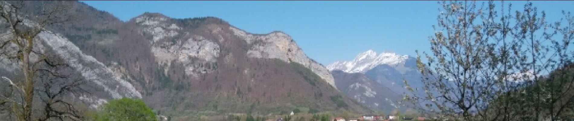
la fosse a l'ours depuis Prafeu

COMAN
User


1h42
Difficulty : Easy

FREE GPS app for hiking
 SityTrail
IGN / Geographical institutes
SityTrail Plus
The world is yours!
About
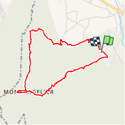
Trail Walking of 4.7 km to be discovered at Auvergne-Rhône-Alpes, Upper Savoy, Faverges-Seythenex. This trail is proposed by COMAN.
Description
Très jolie, en sous bois,avec de jolie fleurs en cette saison d'Avril et par moment de beau panorama
Si vous tournez dans le sens des aiguilles d'une montre pas de difficulté particulière sauf à la descente sue l'Englannaz ou les roches sont à vif et, si il à plu, très glissantes et dans ce cas il est préférable de faire la rando dans l'autre sens
Photos


Positioning
Comments