


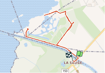

5.1 km | 5.7 km-effort

User


FREE GPS app for hiking
 SityTrail
IGN / Geographical institutes
SityTrail World
The world is yours!
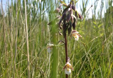
Trail Walking of 6.4 km to be discovered at Vaud, District de la Broye-Vully, Cudrefin. This trail is proposed by chbolzli.
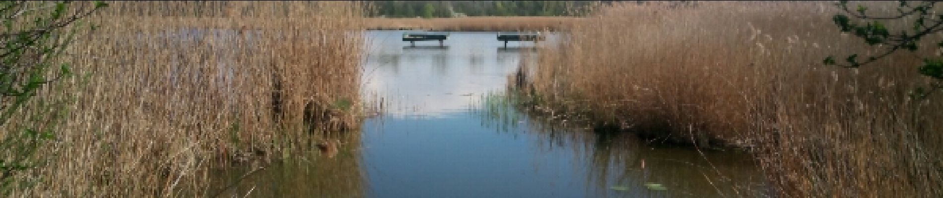
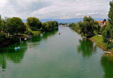
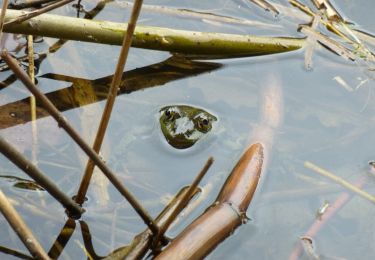
Réserve naturelle au bord du lac de Neuchâtel.


On foot
On foot
On foot

Walking

Other activity
Other activity
Other activity
Walking
Walking