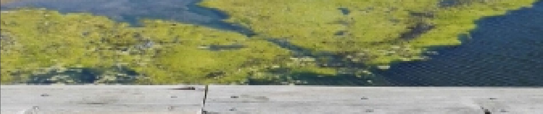
Etang de Villepey

marmotte83
User
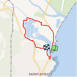

Length
6.5 km

Max alt
14 m

Uphill gradient
37 m
Km-Effort
7 km

Min alt
-1 m

Downhill gradient
37 m
Boucle
Yes
Creation date :
2017-04-17 00:00:00.0
Updated on :
2017-04-17 00:00:00.0
3h04
Difficulty : Very easy

FREE GPS app for hiking
 SityTrail
IGN / Geographical institutes
SityTrail Plus
The world is yours!
About
Trail Walking of 6.5 km to be discovered at Provence-Alpes-Côte d'Azur, Var, Fréjus. This trail is proposed by marmotte83.
Description
Boucle autour des étangs
Photos


Positioning
Country:
France
Region :
Provence-Alpes-Côte d'Azur
Department/Province :
Var
Municipality :
Fréjus
Location:
Unknown
Start:(Dec)
Start:(UTM)
316004 ; 4807065 (32T) N.
Comments