


Dhuys-Cuisiat

Bogapuki
User
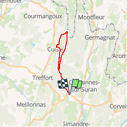

Length
18.1 km

Max alt
672 m

Uphill gradient
711 m
Km-Effort
28 km

Min alt
321 m

Downhill gradient
711 m
Boucle
Yes
Creation date :
2018-11-25 09:19:00.079
Updated on :
2018-11-25 09:19:00.079
6h25
Difficulty : Medium

FREE GPS app for hiking
 SityTrail
IGN / Geographical institutes
SityTrail Plus
The world is yours!
About
Trail Walking of 18.1 km to be discovered at Auvergne-Rhône-Alpes, Ain, Nivigne et Suran. This trail is proposed by Bogapuki.
Description
29 avril 2017
Le dénivelé ET la distance en font une rando pour bon randonneur.
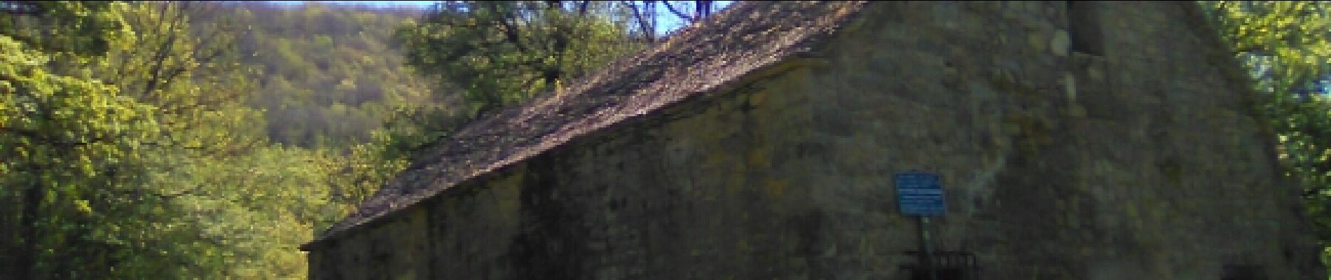
Parcours dans la forêt.
A recommander surtout par beau temps
Photos


Positioning
Country:
France
Region :
Auvergne-Rhône-Alpes
Department/Province :
Ain
Municipality :
Nivigne et Suran
Location:
Chavannes-sur-Suran
Start:(Dec)
Start:(UTM)
685554 ; 5125213 (31T) N.
Comments