


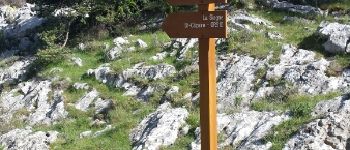
Climb from the river Siagne to Escragolles

Palimpseste
User
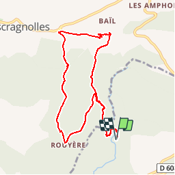

Length
9.7 km

Max alt
1094 m

Uphill gradient
510 m
Km-Effort
16.6 km

Min alt
589 m

Downhill gradient
513 m
Boucle
Yes
Creation date :
2018-08-05 15:27:37.325
Updated on :
2018-08-05 15:27:37.411
2h43
Difficulty : Medium

FREE GPS app for hiking
 SityTrail
IGN / Geographical institutes
SityTrail Plus
The world is yours!
About
Trail Walking of 9.7 km to be discovered at Provence-Alpes-Côte d'Azur, Maritime Alps, Saint-Vallier-de-Thiey. This trail is proposed by Palimpseste.
Description
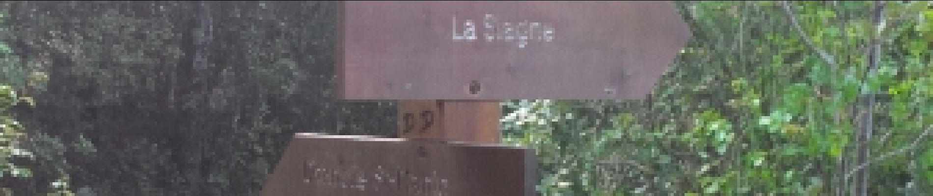
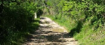
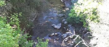
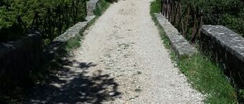
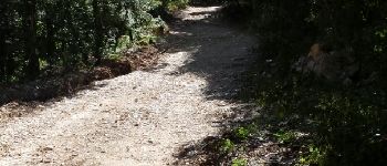
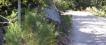
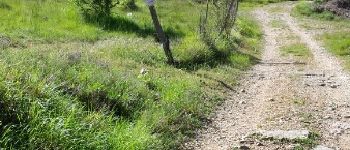
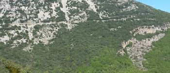
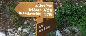
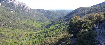
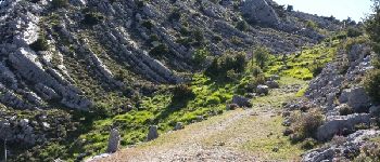
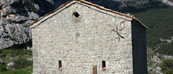
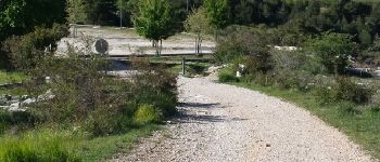
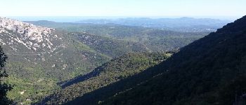
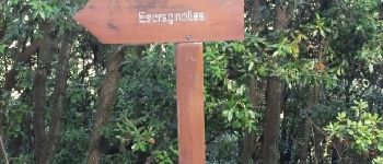
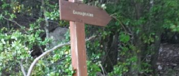
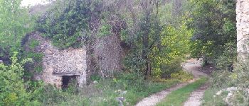
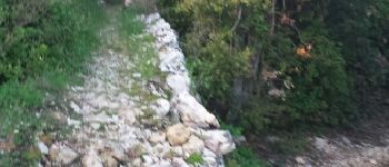
Beautiful loop allowing to leave from the Siagne to the chapel saint Jean at Escragnolles and return with superb points of view
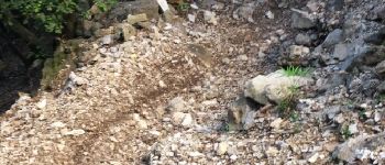
Photos


Points of interest

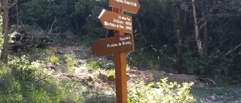

Positioning
Country:
France
Region :
Provence-Alpes-Côte d'Azur
Department/Province :
Maritime Alps
Municipality :
Saint-Vallier-de-Thiey
Location:
Unknown
Start:(Dec)
Start:(UTM)
323344 ; 4841981 (32T) N.
Comments
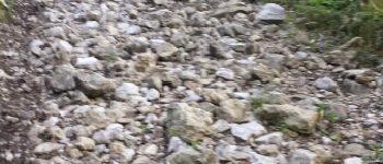
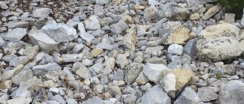
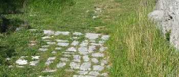
Belle balade, même si la montée est parfois un peu raide avec les pierres