


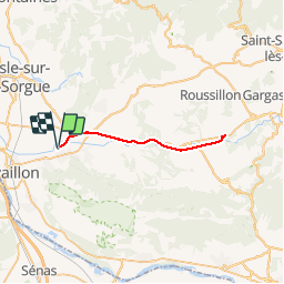

16.7 km | 27 km-effort

User


FREE GPS app for hiking
 SityTrail
IGN / Geographical institutes
SityTrail World
The world is yours!
Trail Mountain bike of 38 km to be discovered at Provence-Alpes-Côte d'Azur, Vaucluse, Robion. This trail is proposed by GerardBouche.
Depuis la gare de Robion, un A/R de /- 40km sur le très beau vélo-route (RaVel en Bel) jusqu'au " Vieux Pont Julien ". Un itinéraire plaisant à travers les vignobles - cerisiers et vue exceptionnelle sur le Ventoux.
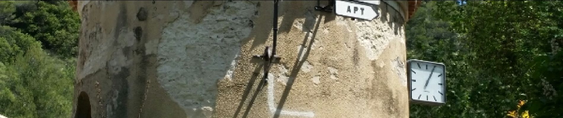
. - Photo 1")
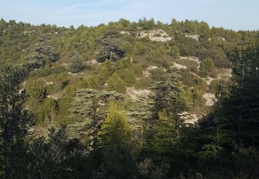
. - Photo 2")
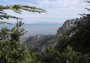
. - Photo 3")
. - Photo 4")
. - Photo 5")

Walking

Cycle
Walking

Cycle
Walking

Walking

Walking

Walking

Walking