


Les Bastided_29-05-17

ajasse
User
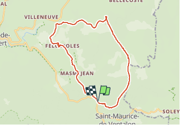

Length
19.4 km

Max alt
1372 m

Uphill gradient
469 m
Km-Effort
26 km

Min alt
1035 m

Downhill gradient
468 m
Boucle
Yes
Creation date :
2017-05-29 00:00:00.0
Updated on :
2017-05-29 00:00:00.0
6h27
Difficulty : Unknown

FREE GPS app for hiking
 SityTrail
IGN / Geographical institutes
SityTrail Plus
The world is yours!
About
Trail Other activity of 19.4 km to be discovered at Occitania, Lozère, Pont de Montvert - Sud Mont Lozère. This trail is proposed by ajasse.
Positioning
Country:
France
Region :
Occitania
Department/Province :
Lozère
Municipality :
Pont de Montvert - Sud Mont Lozère
Location:
Saint-Maurice-de-Ventalon
Start:(Dec)
Start:(UTM)
565112 ; 4909091 (31T) N.
Comments