Le tour du lac de Charpal

alainjoseph6
User
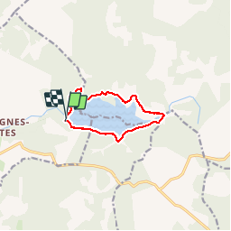

Length
9 km

Max alt
1345 m

Uphill gradient
90 m
Km-Effort
10.2 km

Min alt
1323 m

Downhill gradient
94 m
Boucle
Yes
Creation date :
2017-06-04 00:00:00.0
Updated on :
2017-06-04 00:00:00.0
2h20
Difficulty : Very easy

FREE GPS app for hiking
 SityTrail
IGN / Geographical institutes
SityTrail Plus
The world is yours!
About
Trail Walking of 9 km to be discovered at Occitania, Lozère, Monts-de-Randon. This trail is proposed by alainjoseph6.
Description
géniale
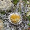
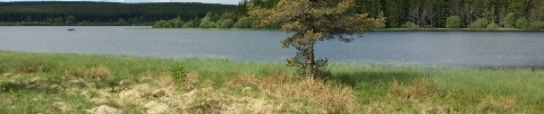
Photos


Positioning
Country:
France
Region :
Occitania
Department/Province :
Lozère
Municipality :
Monts-de-Randon
Location:
Rieutort-de-Randon
Start:(Dec)
Start:(UTM)
544467 ; 4941291 (31T) N.
Comments