


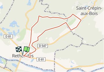
Rethondes

NESTOR2714
User

Length
8 km

Max alt
84 m

Uphill gradient
93 m
Km-Effort
9.3 km

Min alt
35 m

Downhill gradient
93 m
Boucle
Yes
Creation date :
2017-06-05 00:00:00.0
Updated on :
2017-06-05 00:00:00.0
2h00
Difficulty : Unknown

FREE GPS app for hiking
 SityTrail
IGN / Geographical institutes
SityTrail Plus
The world is yours!
About
Trail Other activity of 8 km to be discovered at Hauts-de-France, Oise, Rethondes. This trail is proposed by NESTOR2714.
Description
Rando rethondes jp
Positioning
Country:
France
Region :
Hauts-de-France
Department/Province :
Oise
Municipality :
Rethondes
Location:
Unknown
Start:(Dec)
Start:(UTM)
495637 ; 5473756 (31U) N.
Comments