


Tence-170619 - MontMézinc

randodan
User
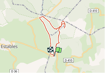


2h10
Difficulty : Easy

FREE GPS app for hiking
 SityTrail
IGN / Geographical institutes
SityTrail Plus
The world is yours!
About
Trail Walking of 6.7 km to be discovered at Auvergne-Rhône-Alpes, Ardèche, Borée. This trail is proposed by randodan.
Description
Tence, 19 juin 2017<br>
- Mont Mézinc -<br>
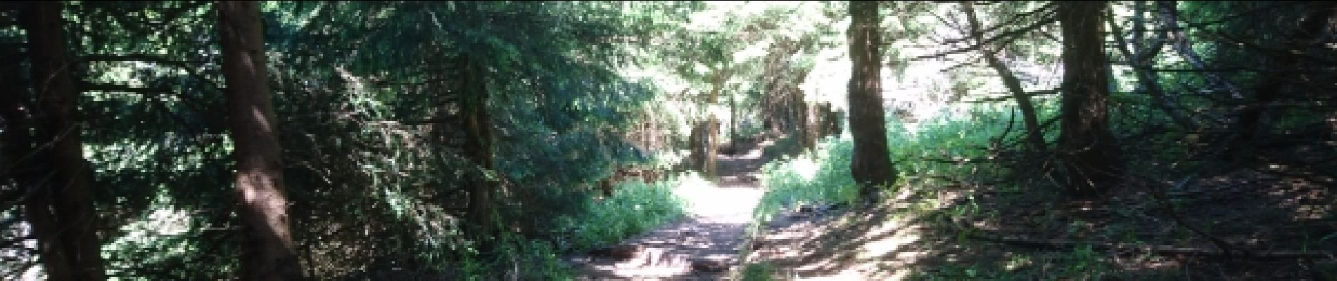
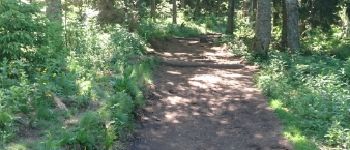
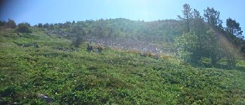
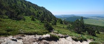
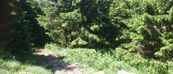
10h, départ de la Croix de Boutières (1506 m) . Chemin au pied du Mézinc (GR 420) sur lequel je croise un groupe que je recroiserai moult fois en montée et au sommet . 10h40 à la Croix de Peccata, puis grimpette douce sur chemin large, qui, bientôt sous les arbres, est constamment garni de troncs traversiers pour réduire le ravinement pluvieux . 11h, au sortir de la forêt, nombreux randonneurs devant moi qui grimpent vers la Croix du Mézinc, maintenant bien visible.<br>
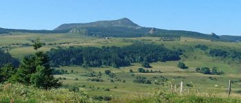
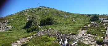
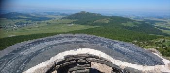
11h15, au pied de la Croix, 1744 m, intitulée "sommet" alors que la table d'orientation est 10 m plus haute . Explication : la Croix est en Haute-Loire, et le vrai sommet en Ardèche, mais chacun veut "son" sommet :o).<br>
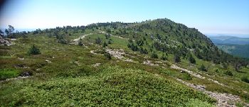
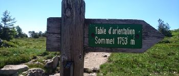
11h30, à la Table d'Orientation du Mézinc, 1753 m.<br>
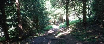
Descente dont une bonne partie avec de très hautes "marches" devant rendre la montée par ce sentier très pénible (alors que facile à descendre avec les bâtons) . 12h10 à la voiture.<br>
(En solo).
Photos


Points of interest

Positioning
Comments