


Luik - 20170624 - Ternell - Steinbach - Reinhardshof

misph
User
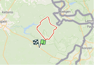

Length
18.1 km

Max alt
529 m

Uphill gradient
382 m
Km-Effort
23 km

Min alt
368 m

Downhill gradient
381 m
Boucle
Yes
Creation date :
2017-07-18 00:00:00.0
Updated on :
2023-05-04 15:42:17.779
5h15
Difficulty : Very difficult

FREE GPS app for hiking
 SityTrail
IGN / Geographical institutes
SityTrail Plus
The world is yours!
About
Trail Walking of 18.1 km to be discovered at Wallonia, Liège, Eupen. This trail is proposed by misph.
Description
Luik - 20170624 - Ternell - Steinbach - Reinhardshof
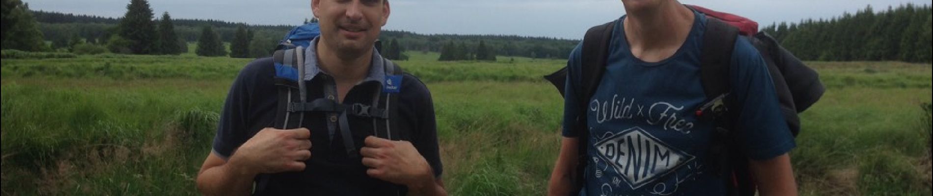
Photos


Positioning
Country:
Belgium
Region :
Wallonia
Department/Province :
Liège
Municipality :
Eupen
Location:
Eupen (Altgemeinde)
Start:(Dec)
Start:(UTM)
296883 ; 5607681 (32U) N.
Comments