


Salavre- Mt Verjon

Bogapuki
User
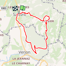

Length
9.2 km

Max alt
488 m

Uphill gradient
299 m
Km-Effort
13.2 km

Min alt
242 m

Downhill gradient
305 m
Boucle
Yes
Creation date :
2018-11-25 09:18:58.261
Updated on :
2018-11-25 09:18:58.261
2h52
Difficulty : Easy

FREE GPS app for hiking
 SityTrail
IGN / Geographical institutes
SityTrail Plus
The world is yours!
About
Trail Walking of 9.2 km to be discovered at Auvergne-Rhône-Alpes, Ain, Salavre. This trail is proposed by Bogapuki.
Description
37 juin 2017
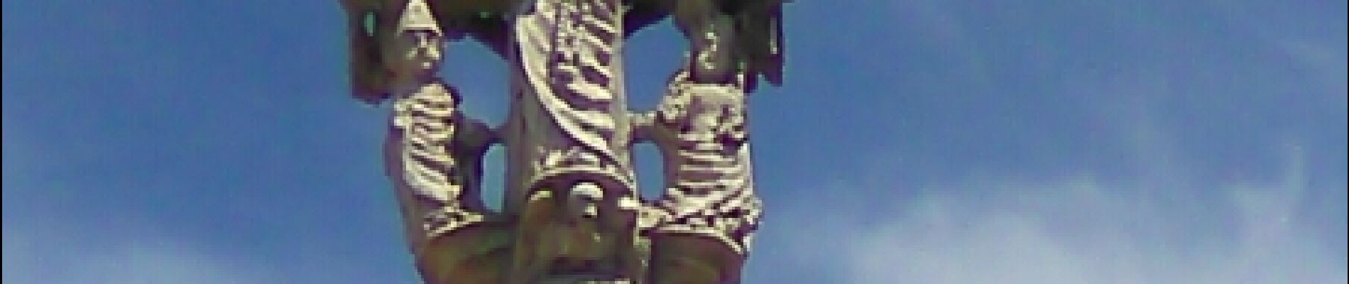
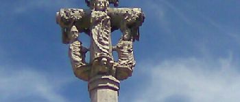
Photos


Positioning
Country:
France
Region :
Auvergne-Rhône-Alpes
Department/Province :
Ain
Municipality :
Salavre
Location:
Unknown
Start:(Dec)
Start:(UTM)
680555 ; 5137169 (31T) N.
Comments