


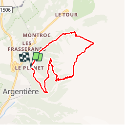

9 km | 27 km-effort


User


FREE GPS app for hiking
 SityTrail
IGN / Geographical institutes
SityTrail World
The world is yours!
Trail Walking of 7.8 km to be discovered at Auvergne-Rhône-Alpes, Upper Savoy, Chamonix-Mont-Blanc. This trail is proposed by GerardBouche.
Au départ de "Le PLANET" (commune d'Argentière) emprunter le très beau sentier ombragé dans une zone de feuillus, d'arbustes et résineux qui vous monte rapidement en zigzags (plutôt physique) jusqu'à la "Tête du Grand Chantet (alt. 2.050 m) et le Péclerey matérialisé par un abri en pierre sous le glacier du "Tour". Une descente raide et en lacets vous mène à l'aplomb du village du Tour. Retour par le Balcon Nord en suivant les indications "Le Planet".
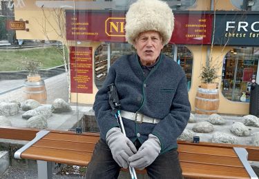
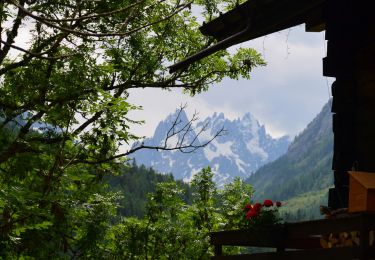
 - Photo 1")
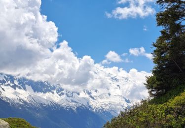
 - Photo 2")
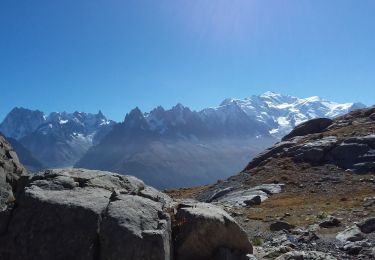
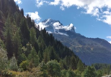
 - Photo 3")
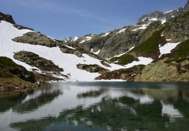
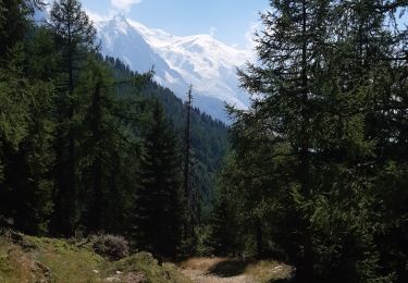
 - Photo 4")
 - Photo 5")
 - Photo 6")
 - Photo 7")

Walking

Winter sports
Walking
Walking
Walking
Walking
Walking
Walking
Walking